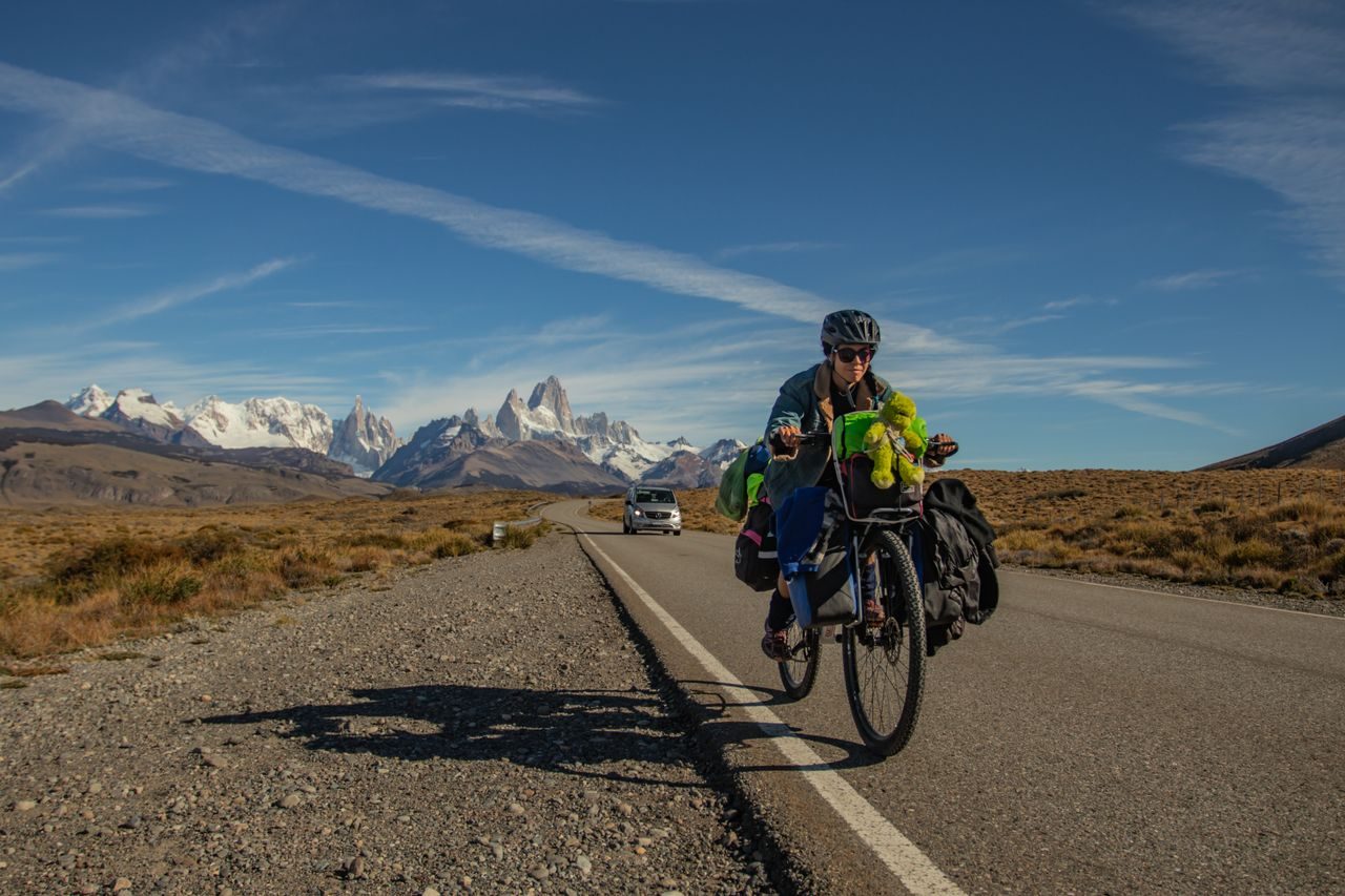
Route 40 runs the length of Argentina from south to north, along the Andes. It starts at Cabo Vírgenes, in Santa Cruz, and ends at La Quiaca, in Jujuy. It crosses 11 provinces and three tourist regions: Patagonia, Cuyo and the North.
Route 40 near El Chaltén, Santa Cruz, with Fitz Roy in the background. Photo: eduardo oscar · Pexels · licencia Pexels
Route facts
Stretch
Cabo Vírgenes (Santa Cruz) to La Quiaca (Jujuy)
Distance
Over 5,000 km. The detailed source gives 5,194 km
Provinces
11
Lowest point
Cabo Vírgenes, 39 m above sea level
Highest point
Abra del Acay, in Salta: 4,895 m in the source's main figure
How to drive it in Patagonia
Nobody drives all of Route 40 in one go. The simplest way is to pick a stretch. One of the prettiest in Patagonia is the Seven Lakes Road, 110 km between San Martín de los Andes and Villa La Angostura. See the Seven Lakes Road.
Tips
Check the road status before you leave: conditions change with weather and roadworks.
Plan distances carefully and fill up on fuel whenever you can.
In winter, carry chains for the mountain stretches.
Destinations you can reach
This comes from the sources below. The 2009 and 2018 articles may be out of date: check before you go.
Cabo Vírgenes: the starting point in the south. It has a lighthouse with a museum and a provincial reserve with the second-largest Magellanic penguin colony in South America.
Río Gallegos: capital of Santa Cruz and the main stop with services.
El Calafate: on the shore of Lake Argentino. From here you reach the Perito Moreno Glacier, in Los Glaciares National Park, which has more than 200 glaciers. A 2009 article puts the glacier 110 km from the road.
El Chaltén: the "National Trekking Capital", with more than fifty trails.
Gobernador Gregores: gateway to Perito Moreno National Park.
Cueva de las Manos: cave paintings about 9,000 years old, a World Heritage Site. Bajo Caracoles is a stop before continuing toward Lake Posadas.
Perito Moreno and Los Antiguos: towns known for their summer cherries, close to Patagonia National Park. Los Antiguos is on the shore of Lake Buenos Aires and 66 km from Perito Moreno.
Bariloche, El Bolsón and around: Bariloche is close to the road, on Lake Nahuel Huapi. It is 130 km from Bariloche to El Bolsón. Further south are Lago Puelo, Los Alerces National Park and La Trochita, the steam train boarded at El Maitén or Esquel.