The Carretera Austral, or Route 7, runs from Puerto Montt to Villa O'Higgins through the south of the Los Lagos region and Aysén. It is about 1,240 km with three ferry crossings, and much of the road is gravel.
Photo: Pablo Barría
Route facts
Length
About 1,240 km
Stretch
Puerto Montt to Villa O'Higgins
Regions
Southern Los Lagos and Aysén
Surface
It began almost entirely as gravel. According to a March 2018 source, the pavement reached Villa Cerro Castillo. Today it may be different
Opened
1988. The last 100 km to Villa O'Higgins, in 2000, and the branch to Caleta Tortel, in 2003
The three ferries
La Arena to Puelche: about 40 minutes, about 45 km south of Puerto Montt.
Hornopirén to Caleta Gonzalo: about 5 hours. You have to buy the ticket in advance.
Puerto Yungay to Río Bravo: about 50 minutes.
Stops and parks
Hornopirén, Lake Yelcho, Chaitén, Coyhaique, Villa Cerro Castillo, Lake General Carrera, Cochrane, Caleta Tortel and Villa O'Higgins. On the way are Hornopirén and Queulat national parks, and the Pumalín and Patagonia parks.
Tips
Confirm ferry schedules and status before you leave.
Check the road condition: paving and roadworks change every season.
Destinations you can reach
Approximate distances per stretch, according to Calendario Chile. Ferry places are limited in January and February: book weeks ahead.
Puerto Montt to Chaitén (240 km): northern stretch, with pavement and ferries, through Valdivian rainforest. Pumalín Douglas Tompkins National Park is here. Hornopirén is the entry point, with fjords, forests and lakes.
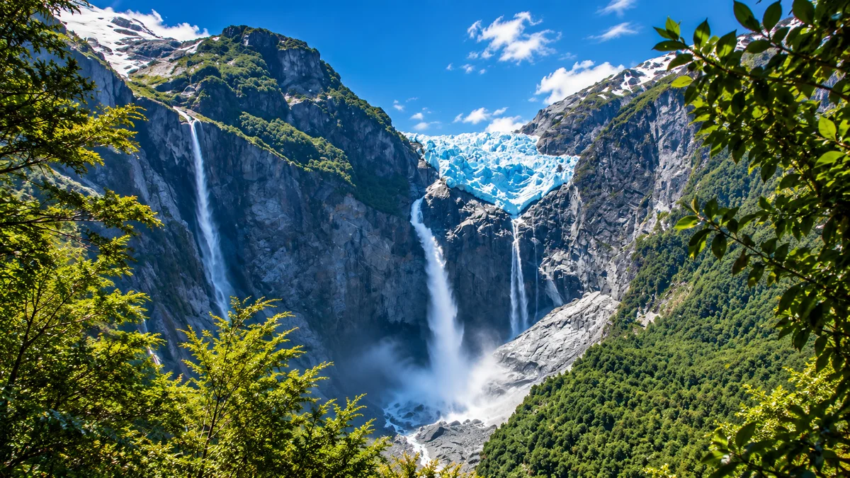
Chaitén to Coyhaique (420 km): pavement and gravel. It passes La Junta, Puyuhuapi (with its hot springs) and Queulat National Park, with the hanging glacier. From the road you can also reach Futaleufú. Coyhaique is the supply hub and has an airport (Balmaceda).
Coyhaique to Puerto Río Tranquilo (220 km): pavement and gravel. It passes Cerro Castillo (hiking, turquoise lagoons and possible huemul deer). Puerto Río Tranquilo is the gateway to Lake General Carrera and the Marble Chapels.
Puerto Río Tranquilo to Cochrane (115 km): gravel. The highlight is the confluence of the Baker River. Nearby is Patagonia National Park (Chacabuco valley), with steppe, guanacos and foxes.
Cochrane to Villa O'Higgins (235 km): gravel and ferry. It is the most remote stretch. It includes Caleta Tortel, a distinctive coastal village, and ends at km 1,240 with the Mosco glacier.